
Geographical Information System (GIS) Services.
Empowering your business with advanced spatial data analysis and intelligent mapping solutions.


Geographical Information System (GIS) Services.
Empowering your business with advanced spatial data analysis and intelligent mapping solutions.
A Geographic Information System (GIS) is a cutting-edge tool for capturing, analyzing, and managing spatial and geographical data. It plays a pivotal role in understanding the relationship between different locations and associated data, offering a clearer picture for decision-makers.
GIS can handle vast amounts of data, overlaying them onto maps to produce insights into patterns, trends, and relationships. Its applications range from urban planning, environmental protection, transportation management, and even disaster management, making it a key resource in both public and private sectors.
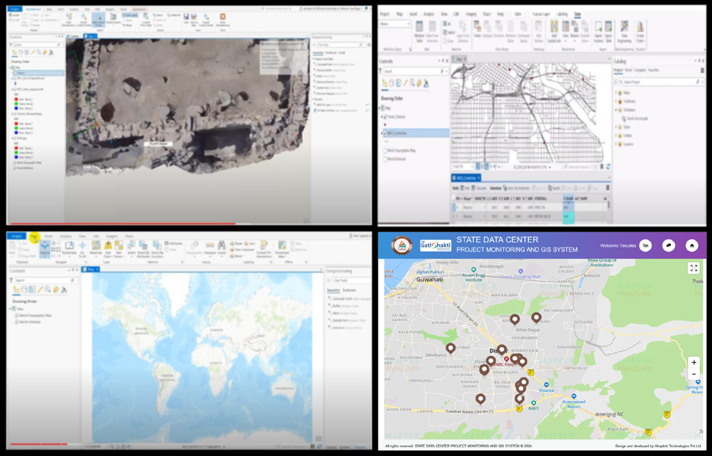
We are industry leaders in providing innovative GIS solutions tailored to your business needs. Here's why:
With years of experience, our team of GIS professionals brings deep technical knowledge and strategic insight to every project we undertake.
We utilize the latest GIS software and technologies to deliver precise, high-quality spatial data analysis and mapping solutions.
Every project is unique, which is why we offer customized solutions that are specifically designed to meet your individual requirements.
We offer a comprehensive range of GIS services to meet the diverse needs of our clients.

We offer in-depth spatial data analysis, allowing you to make informed decisions by identifying patterns, relationships, and trends within geographic data. From land use analysis to transportation planning, our insights drive smarter choices.

Our custom mapping services create visually engaging, easy-to-understand maps that showcase geographic data in a way that is meaningful to your organization. Whether for public use or internal analysis, our maps are designed to meet your exact needs.

Our expert GIS consultants provide you with the guidance and expertise you need to implement, integrate, and maintain GIS systems efficiently. We work closely with your team to ensure seamless integration with your existing processes.
Explore our successful projects where GIS solutions have made a significant impact.
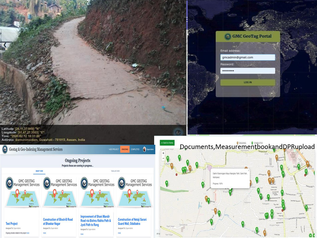
Geo Tag Portal is a comprehensive platform designed for the collection, management, and analysis of geospatial data by tagging specific locations with relevant metadata. It enables users to visualize, monitor, and access geographically-referenced information with ease, supporting decision-making processes in various sectors like urban planning, resource management, and infrastructure development. The portal integrates mapping tools and GIS technologies to streamline workflows and enhance accuracy in geotagging, promoting efficient data-driven solutions.
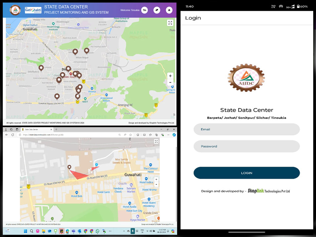
Geo-tagging is the process of attaching location information in the form of geographical metadata to digital media like web sites, videos, and photographs. Geo-tags may also be applied to digital output and communications such as tweets or status updates on social media.
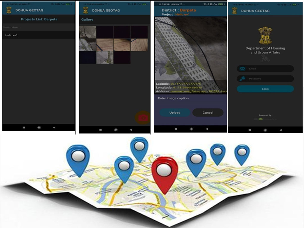
Geo-tagging is a function of the location services associated with your computer system, network, or mobile devices. It’s powered by the global positioning system (GPS) or satellite positioning used by your system, and based on the position and co-ordinates of the metadata, geo-tagging may be used to find location-specific destinations (e.g. shops and restaurants) or web sites and online resources.